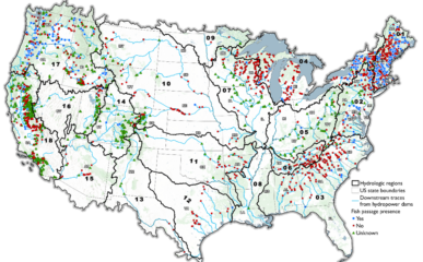
Hydropower Fish Passage Webmap
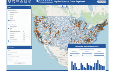
HydroSource, Oak Ridge National Laboratory
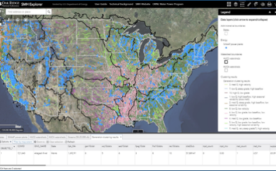
HydroSource, Oak Ridge National Laboratory
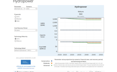
National Laboratory of the Rockies
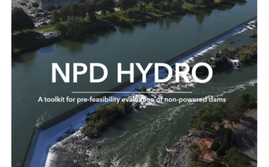
Idaho National Laboratory
Argonne National Laboratory