
The HydroSource Data Explorer (HDE) is a powerful web-based geospatial application designed to help researchers, policymakers, and industry professionals access and analyze diverse hydropower-related datasets. It provides streamlined access to authoritative data on hydropower assets and potential across the United States, enabling data-driven decision-making to support domestic power generation and grid stability.
The HDE offers comprehensive, multi-scale datasets which model key aspects of hydropower performance, costs, maintenance, permitting, and development. Users can explore a variety of datasets, which can be combined to reflect the full complex lifecycle of hydropower facilities—spanning from site selection to retirement. These data layers include:
- Reference data: Such as hydrologic regions, county and state boundaries, and North American Electric Reliability Corporation (NERC) regions
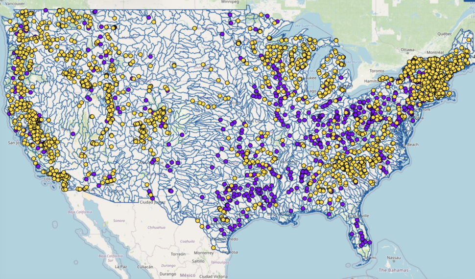
- Hydropower data: Planned plants, operational plants and retired plants, as well as plants under re-licensing. These layers also provide a snapshot of hydropower potential by showing possible assets such as non-powered dams, new stream reach development, hydropower potential from conduits, and more. Furthermore, the Hydropower Infrastructure – LAkes, Reservoirs, and RIvers (HILARRI) dataset provides links between inland bodies of water and operational hydropower assets such as dams and powerplants
- Watershed data: Includes hydrologic classifications, listed fish species and traits, environmental attributes, and water use
The HDE’s dynamic, multi-scale visualizations allow users to tailor the platform to their needs. Users can access the comprehensive datasets, explore and visualize data, and easily download information for further analysis or research. Some use cases of the HDE include:
- Estimating hydropower generation and capacity by area of interest
- Visualizing the hydropower potential of a basin
- Analyzing existing facilities and hydrology around a new development site
- Identifying hydropower plants pending relicensure in a given geographic region
These features enable stakeholders to streamline analysis projects, improve operational efficiency, and identify the best opportunities for fleet expansion.
With its continually updated interface and expanding data sources, the HydroSource Data Explorer remains a valuable resource for both subject matter experts and newcomers alike.
Explore the app today at: https://hydrosourcedataexplorer.ornl.gov/