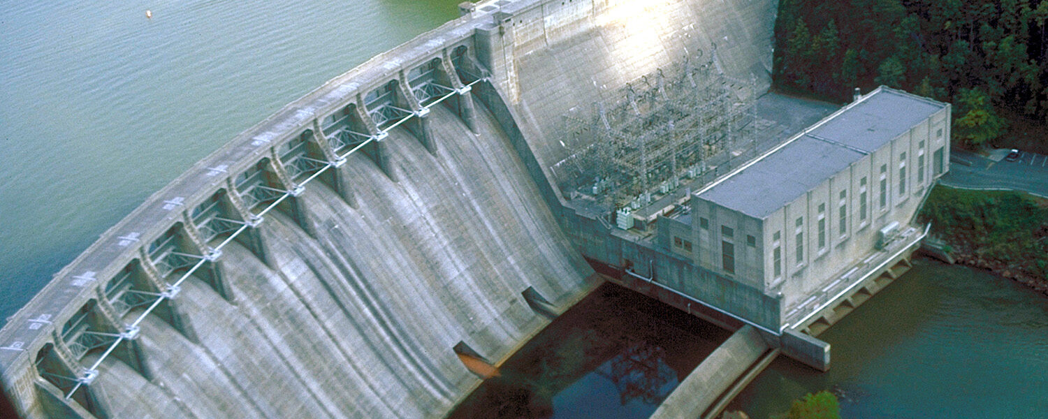
Sediment accumulation behind dams is a widespread challenge for reservoirs across the United States. Over time, trapped sediment reduces water storage capacity, disrupts dam and reservoir operations, degrades water quality and wildlife habitat, and contributes to downstream erosion. Unfortunately, addressing this issue is complicated by incomplete and scattered sedimentation data and highly variable sedimentation rates between reservoirs.
To help address this gap, researchers at the U.S. Department of Energy’s Oak Ridge National Laboratory (ORNL) have developed two new datasets available through the HydroSource platform. Together, these resources provide a clearer national picture of how sediment affects reservoir systems and how dam operators monitor and manage those impacts.
Sediment Management and Monitoring Dataset
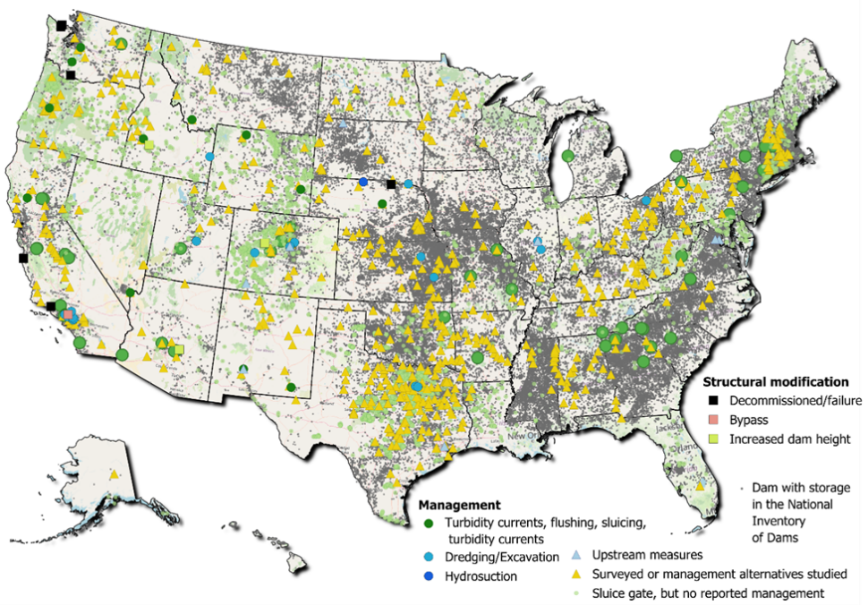
This dataset compiles information on dam sediment management activities and monitoring efforts from surveys, case studies, and peer-reviewed literature. The dataset also includes infrastructure features documented in the National Inventory of Dams—such as the presence of sluice gates that may enable sediment releases.
Key features of the dataset include:
- National compilation of sediment management records: Integrates information from surveys, case studies, and peer-reviewed literature published over the past 25 years.
- Downstream monitoring records: Locations and descriptions of monitoring gages used to track sediment conditions before and after management actions.
- Integrated national dataset: Compiles information from multiple sources to support national-scale analysis of sediment management challenges and solutions.
By bringing together previously fragmented information, the dataset provides a foundation for evaluating different sediment management strategies across diverse dam and reservoir systems.
Reservoir Storage Capacity Dataset
This dataset aggregates information on changes in reservoir storage capacity over time, an important indicator of how sediment accumulation affects reservoir function.
Storage capacity information is available for many reservoirs through the National Inventory of Dams, but detailed records of storage changes, survey methods, and reference elevations are often distributed across individual survey reports. The new dataset compiles these records to enable consistent comparisons of reservoir storage over time.
Key features of the dataset include:
- National coverage: Includes 739 reservoir storage capacity comparisons across reservoirs in the continental United States.
- Historical survey comparisons: Tracks changes in reservoir storage capacity by comparing the earliest and most recent available surveys.
- Consistent elevation references: Reports storage capacity at defined water elevation levels to ensure even comparisons across surveys.
- Survey documentation: Includes information on survey years and methods, reflecting improvements in measurement technologies over time.
- Structural change indicators: Identifies modifications—such as dam heightening—that influence reservoir storage capacity.
Supporting Reservoir Management and Research
Together, these datasets provide critical new tools for understanding sediment dynamics in reservoir systems nationwide. By combining information about sediment management practices, monitoring infrastructure, and long-term storage capacity changes, researchers and water managers can better evaluate sediment-related risks and identify strategies for maintaining reservoir performance.
These resources support ongoing efforts to improve long-term reservoir capacity, inform infrastructure planning, and strengthen the national water and energy systems.