Citation
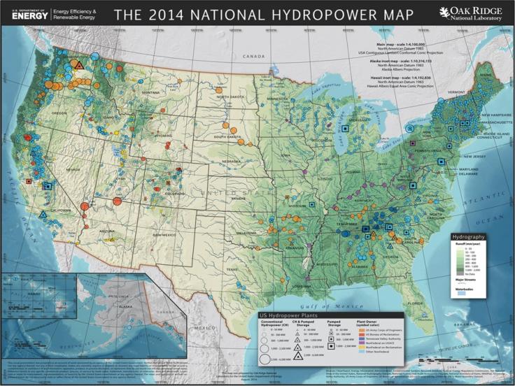
N.M. Samu, S.-C. Kao, B. Hadjerioua, S. Curd, B.T. Smith. 2014. The 2014 National Hydropower Map, Version 1. United States. 2014. Oak Ridge National Laboratory, Oak Ridge, TN. DOI: 10.21951/NationalHydropowerMap_FY14/1644026.
Overview
In this map poster, we use Oak Ridge National Laboratory’s 2014 Existing Hydropower Assets Plant Dataset to visualize the geospatial distribution and characteristics of U.S. operational hydropower plants in 2014.
